You are currently viewing an archived version of the Media Historic Archives Commission website.
For the latest information, please visit the new website.
For the latest information, please visit the new website.
Browse Items (28 total)
- Subject is exactly "Schools"
Sort by:
Items open in a separate tab. Close the tab to return to this list.
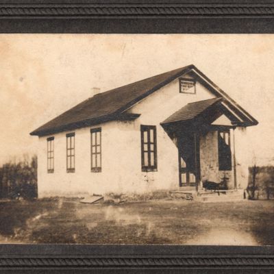
Middletown Public School No. 1
Date: 1908 (circa)
"Red Ink" photo, series by same photographer named for red ink used for writing descriptions on reverse side of similarly-mounted images.
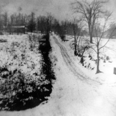
Orange Street in the moonlight, looking north from Ridley Creek Road
Date: 1912 (circa)
Frank Lees caption: "Looking up the hill, in Upper Providence Township, towards Media on South Orange Street. On the left is Ridley Creek Road, and in the distance Upper Providence School #1. Orange Street was a dirt road, covered with snow. Just…
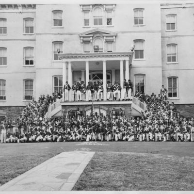
Last photo, Pennsylvania Military College Corps of Cadets
Address: 1 University Pl., Chester (Pa.)
Date: 1972-05-07
The college was renamed Widener College on July 1, 1972, at which time the PMC Corps of Cadets was replaced by a civilian ROTC unit (according to the Chester Times, April 7, 1972, page 1).
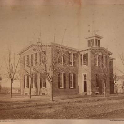
Media High School
Date: 1880 (circa)
Thanks to Sam Lemon for helping identify this former "mystery" photograph. The image appears, as an engraving, on early Media High School diplomas.
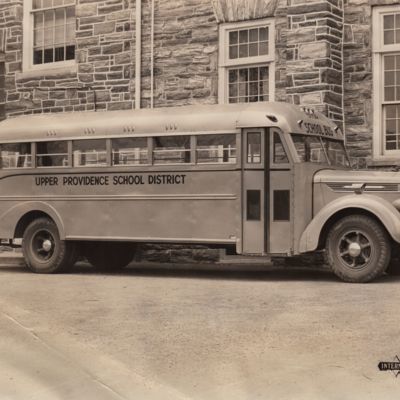
Sandy Bank School bus
Date: 1950 (circa)
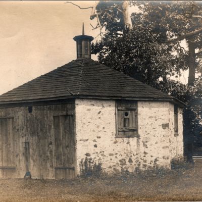
Octagonal Schoolhouse, Newtown Square, Pa.
Date: 1906
This still stands on the grounds of the Dunwoody Retirement Community.
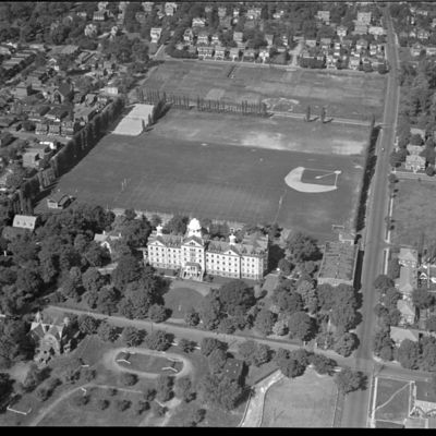
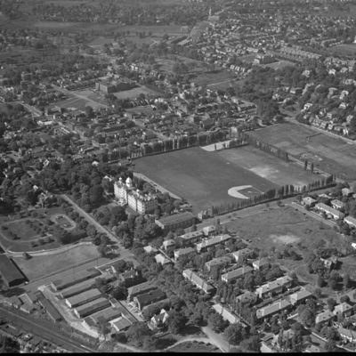
Aerial view of Pennsylvania Military College
Location: Chester (Pa.)
Date: 1935-1945
PMC is now Widener University. This view is looking north over building known as Old Main.
Aerial view of convent and public school, Sharon Hill, Pa.
Location: 300 Calcon Hook Rd., Sharon Hill (Pa.)
Date: 1935-1945
the 1909 Mueller map identifies the church and surrounding complex as the Convent of the Holy Child Jesus. The other building is the Sharon Hill School. Calcon Hook Road winds through the upper left. The entire site is now (2020) occupied by Academy…
Aerial view of Swarthmore College, Swarthmore, Pa.
Location: Swarthmore (Pa.)
Date: 1935-1945
View looking south from College Avenue and Route 320, showing Swarthmore College dormitory building and Benjamin West House at top center
Aerial view of Sisters of Mercy Convent, Lower Merion Township, Pa.
Location: Lower Merion Township (Pa.)
Date: 1935-1945
The convent is now on the campus of Waldron Mercy Academy
Aerial view of Har Zion Cemetery and Mt. Lebanon Cemetery, Darby Township, Pa.
Location: Darby Twp. (Pa.)
Date: 1935-1945
Aerial view looking north of Har Zion Cemetery, foreground, fronting on MacDade Boulevard, and Mt. Lebanon Cemetery. St. Joseph's School on Woodlawn Avenue is three-story building with tower in right center of photo.
Aerial view of Pennsylvania Military College and Chester, Pa.
Location: Chester (Pa.)
Date: 1935-1945
View looking northwest showing Old Main building at PMC (now Widener University) and Chester, Pa. and vicinity.
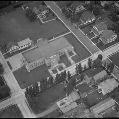
Aerial view of Ardmore Avenue Elementary School and vicinity, Lansdowne, Pa.
Date: 1935-1945
The school still (2020) stands, with many additions.
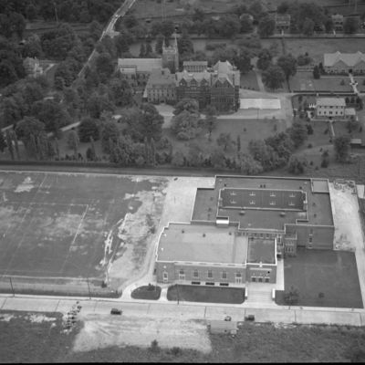
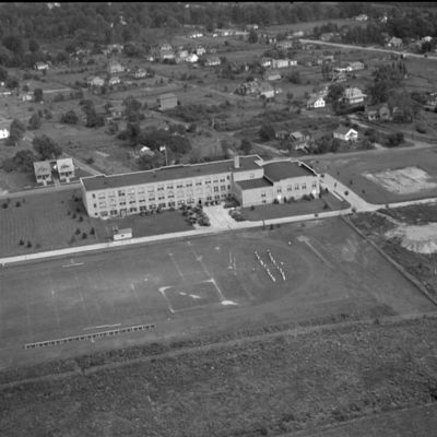
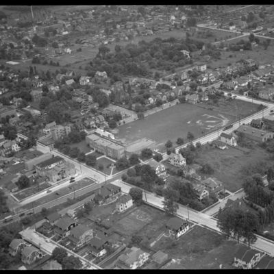
Aerial view of institutional building, probably Delaware County, Pa.
Location: Unknown
Date: 1935-1945
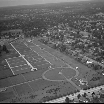
View shows what is probably a public high school, in a relatively undeveloped but gridded neighborhood. A football field is in the foreground.
Aerial view of Swarthmore, Pa.
Location: Swarthmore (Pa.)
Date: 1935-1945
View shows center of Swarthmore, the railroad station, and in the upper right corner, the lower end of the Swarthmore College campus.
Aerial view of Sleighton School for Girls, Thornton, Pa.
Date: 1935-1945
View is looking northeast.
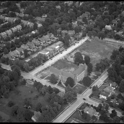
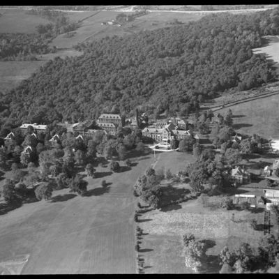
Aerial view of Sisters of Mercy Convent and vicinity, Lower Merion Township, Pa.
Location: Lower Merion Township (Pa.)
Date: 1935-1945
The convent is now on the campus of Waldron Mercy Academy
Aerial view of Folcroft, Pa.
Location: Folcroft (Pa.)
Date: 1935-1945
View shows Folcroft School, facing on Elmwood Avenue at Primos Avenue, northeast corner. This is now (2020) the Folcroft Police Department and District Court.
Aerial view of Williamson School, Elwyn, Pa.
Date: 1935-1945
The school is now (2020) known as Williamson College of the Trades. The campus includes several buildings designed by architect Frank Furness. See also P-18022.
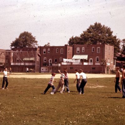
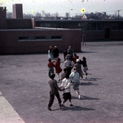
509. Playground. Lansdowne Grade School
Address: 401 Emerson Ave, Lansdowne (Pa.)
Date: 1955-08
This is probably the East Lansdowne Elementary School.

