Browse Items (3 total)

  • Latitude/Longitude is exactly "39.872431, -75.361296"
Items open in a separate tab. Close the tab to return to this list.

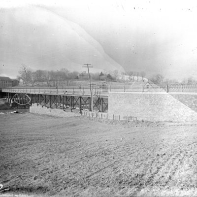
Shoemakerville Bridge. Looking across Ridley Creek into Chester.

http://mediahistoricarchives.org/source/Appleton/AP-5132.jpg
Date: 1895-1900
This hill and bridge are on Providence Road / Route 320, as it crosses Ridley Creek, which is the border between Chester and Nether Providence.

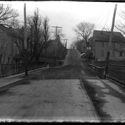
Shoemakerville Bridge. Looking into Chester toward 24th Avenue.

http://mediahistoricarchives.org/source/Appleton/AP-5132-1.jpg
Date: 1895-1900
This hill and bridge are on Providence Road / Route 320, as it crosses Ridley Creek, which is the border between Chester and Nether Providence. See AP-5246 for same view taken same day.

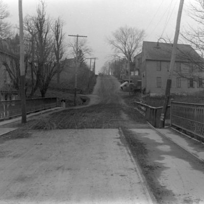
Shoemakerville Hill

http://mediahistoricarchives.org/source/Appleton/AP-5246.jpg
Date: 1895-1900
This hill and bridge are on Providence Road or Route 320, as it crosses Ridley Creek, which is the border between Chester and Nether Providence Township, Pa. See AP-5132-1 for same view taken same day.